Short or Long Trails in Setesdal
Throughout the valley there are excellent opportunities for walking and hiking. From Evje in the south to Hovden in the north, amazing viewpoints await you. In addition to the short round trips, there are several hiking routes connecting the various cabins of the Norwegian Trekking Association (DNT).
Selected hikes
"Lakkenstova" - 14 km return trip
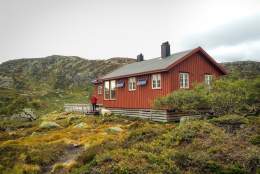
People often use Lakkenstova as their starting point for longer hikes into the mountains, but…
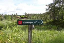
Himmelsyna - return trip 11 km
Excellent views from the summit in good weather. To the south you can see as far as the ocean, and…
The Summit "Årdalsknapen" - return trip 8 km
The first part of the trail follows a fairly well-groomed road. It is rather steep, but rewards you…
Homfjellet - round trip 8,5 km
The foot of the 950-metre Homfjellet mountain is approx. 10 minutes drive from central Valle…
Børtemannsbekken - round trip 10 km
This is a round trip following both sides of the river for approximately 3 kilometres. It takes you…
Hiking season in Setesdal
In Evje and Bygland, the two southernmost communities in the valley, walking and hiking is possible from the melting of snow in April until the first snowfall in November/December. Further up in the valley the snow covers the ground until mid-May. During the melting period the rivers and streams run high – making crossing difficult in several places.
For some of the hikes at higher elevations, such as Brokke and Hovden, we advise you to wait until early June. In the autumn the first mountain snow falls in mid-October. The hiking trails above 900 m.a.s.l. are therefore recommended during the period June–October.
Signposts and markings
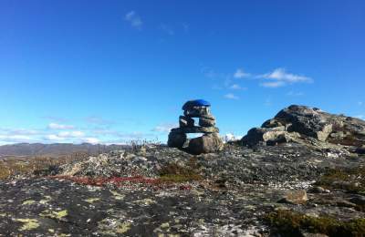
At the start of each trail there is an information board. Along the way there are blue markings on rocks, trees etc. The DNT hiking routes, which lead you from one cabin to another, are marked with the red T.
The tourist offices, accommodation providers and other tourist enterprises in Setesdal may help you with detailed maps and information about the various walks and hikes. It is also a huge advantage to bring a compass. If you plan to take longer hikes outside the marked trails, you need a larger map of the mountain areas.
Difficulty/classification
- Green symbol: Beginners. No specific requirements. Mainly short walks with moderate ascent, but without any steep or difficult sections.
- Blue symbol: Beginners. For people in average shape. Most of the ascents are moderate, but may include some steep sections.
- Red symbol: For experienced hikers in good shape. Several challenges that may include steep ascents and river/stream crossings.
- Black symbol: For highly experienced mountain hikers in good shape. Longer and more technically challenging hikes. Knowledge about map and compass required.

