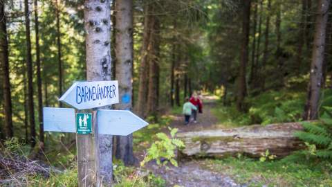
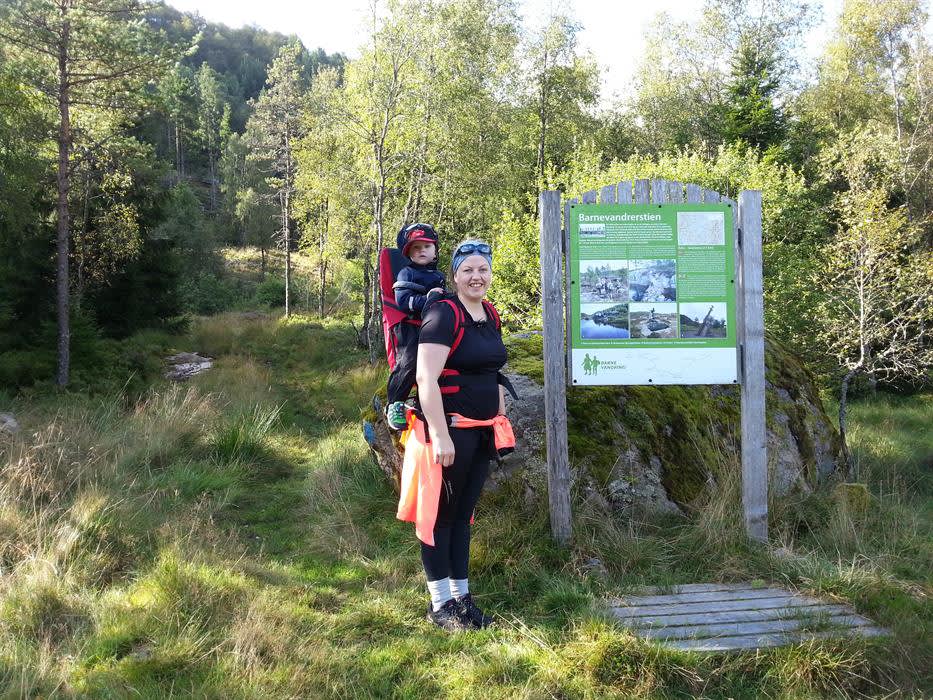
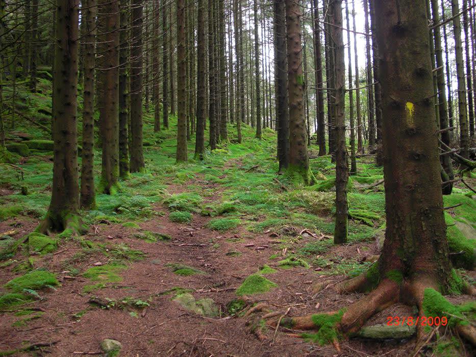
The Child Wanderer Path is a 136 km long continuous path that carries on a sad but educational history. As the path is today, it is divided into 7 stages and can be combined with trains and accommodation at some places.
Hiking in Lyngdal
Photo: Adam Read @Visit Sørlandet
Photo: Adam Read @Visit Sørlandet
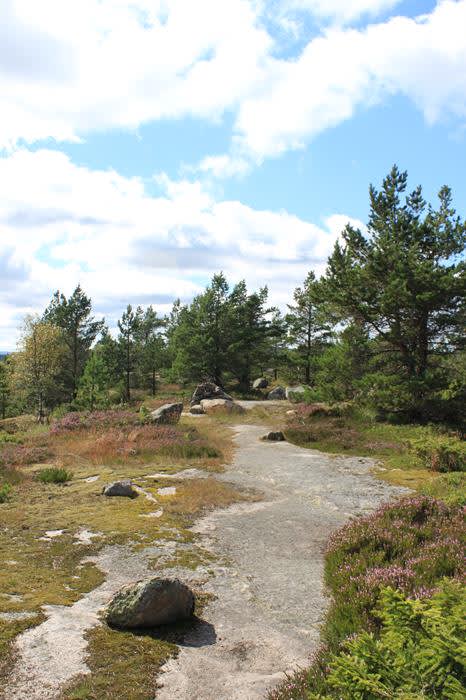
Short or long walks, for both experienced hikers and beginners. Some of the tours go in the mountains, with a view of the fjord, and some go along the coast.
For more information about hiking opportunities in Lyngdal, see the Lister Friluftsråd website.
Photo: Rosfjord Strandhotell
Photo: Rosfjord Strandhotell
Skrelia
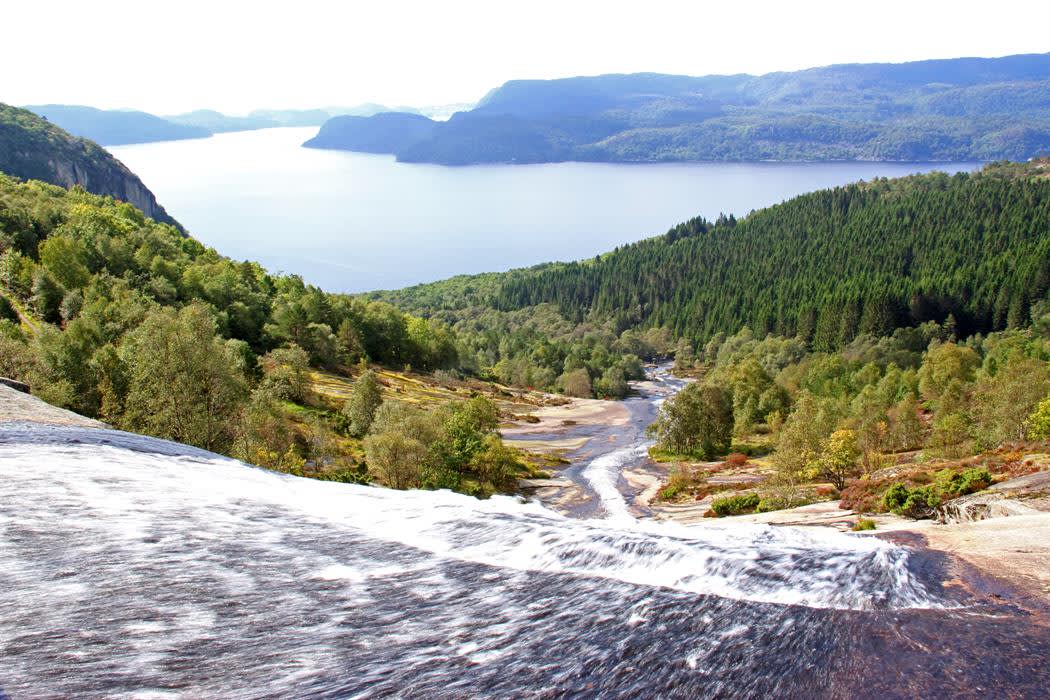
Only a short drive from the center of Lyngdal is the Skrelia hiking trail, Lyngdal's most popular hiking destination. When you stand on top of Skrelifossen and let your eyes follow the waterfall veil from Snaufjell to the outermost fjord, you get a fantastic view! This is where the "high mountain" meets the sea.
The walk is not too steep, and the path is a short distance from the car park. From the top of Skrelia you can look out over the mountainside and the waterfall that descends to the fjord below. It is possible to swim in the pond at the top.
Weedefjell
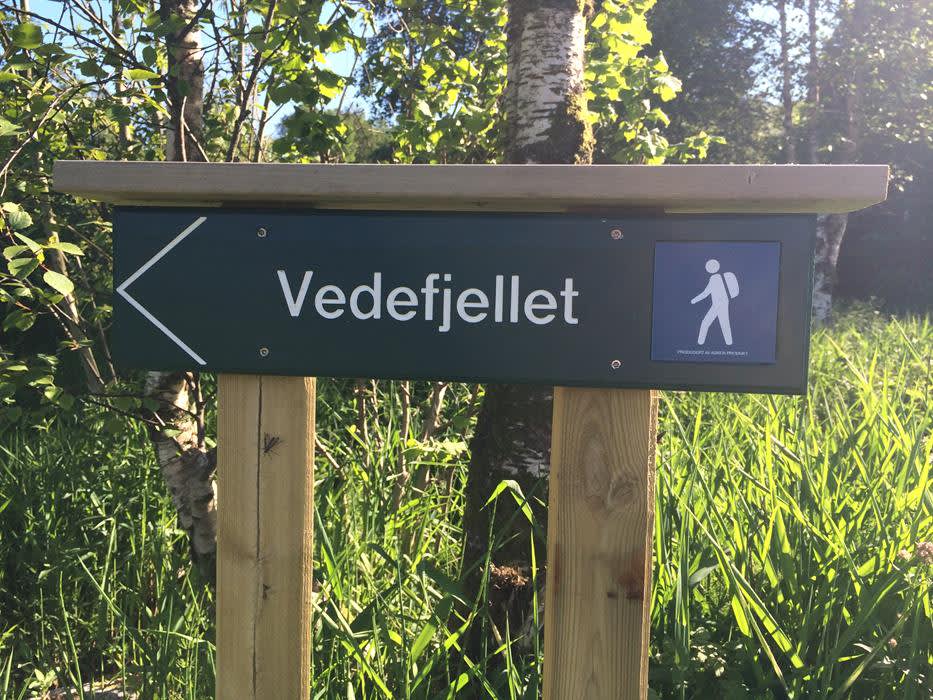
Vedfjell is a hiking area where you have a view of the entire coastline from Lindesnes to Farsund. The trip takes about 1 hour and starts at Belland. At the top of the mountain, there is an information sign that tells the story of how fires were lit on the peaks in Norway to warn of dangerous situations in the area.
Sørlandsbadet tour park
Sørlandsbadet tour park consists of several tours starting in Sørlandsbadet, something for all levels. Whether it concerns cycling, running, training or walking. All tours are nearby, so some of the tours can be combined with each other. The cycle tours that have been set up are the classic tours in the district.
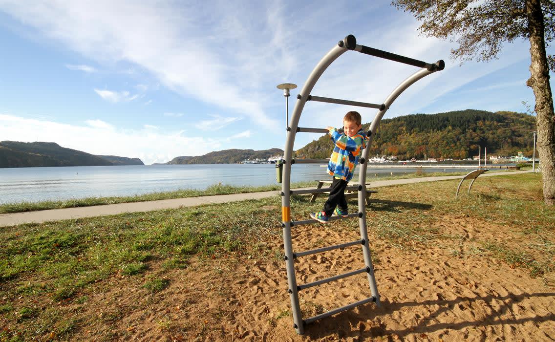
The walks along the promenade, to the lookout point Månen and the area Hammeren by Rosfjordstranda are laid out with different themes for learning and play. The training park is located by the beach and consists of various outdoor training equipment. Here you can train no matter what level or form you are in and there are instructions for use on site.
The King's Road
Kongeveien was originally the old post road that went from Lindlia to Lehnesfjorden and Bergsager. It was in use as a post road from 1790 to 1832, and has now been specially adapted for walking. The trip takes 1.5 hours and is well marked.
Åvitsland round
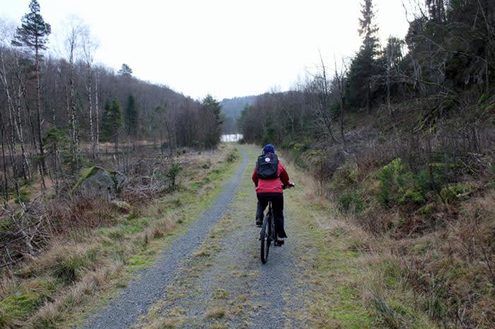
The Åvitsland run is a nice round trip from Alleen in Lyngdal. The tour takes place on a dirt road and you can cycle, walk and wheel this round with a pram. The trip can also be extended with a trip up to the great viewpoint on the Moon.
From Alleen, take the Eierslandsveien towards Augland straight at Hydro Texaco and Betania. Go up the slopes and take the first road to the right at the first water (Øygardsvannet). Then turn left after 200 meters onto the dirt road past Åveslandsvannet and left at the next intersection. After approx. After 600 metres, you pass the path up to Månen on your left. If you continue straight ahead, you will come down the slopes to Agnefestveien into Alleen.
Skopteland, day trip cabin
Nice, easy walk in an open pine forest to a cozy day trip cabin with the possibility of a fire under the roof. Here it's nice to seek shelter and eat nista regardless of the weather! (The water level at the day trip hut is 384 m above sea level.) The path to the day trip hut leads through pleasant, bright terrain with glistening pine forest and with large open marshy areas and idyllic water. The 1.3 km walk is suitable for everyone.
Access/parking: Drive Fv.461 between Kvås and Konsmo, take the exit from Barstad and follow signs for Skopteland free area. Parking at the turning point where the road ends.
Åvitslandrunden
Åvitslandrunden er en fin rundtur fra Alleen i Lyngdal på grusvei. Man…
Vedefjell
Langs kysten finnes flere varder eller veder som de også ble kalt. Dett er et gammelt…
Tur til bygdeborga på Åbestad
Borga er trolig fra ca. år 400-600 e.Kr. Bygdeborgene ble brukt i…
Sørlandsbadet turpark
Sørlandsbadets turpark er et naturområde med aktiviteter for hele…
Vandretur langs Barnevandrerstien med Heddan Gjestegard som base
Opplev de første 3 etappene av vandreturen "Barnevandrerstien" med…
Hausvikodden Fort
Under den 2. Verdenskrig bygget Tyskland ut et enormt system av festningsanlegg…
Blomliknuten
Adkomst: Fra Birkeland, som er kommunesenteret i Hægebostad, følg Rv43…
Kongeveien i Lyngdal
Postgangen mellom Kristiansand og Stavanger var blant den første i Norge, og…
Vandring på blankskurte berg på Skrelia i Lyngdal
Skrelia er Lyngdal sitt mest kjente turområde. Det er kun 350 meter over havet…
Skrelia is a popular hiking area.
Photo: Adam Read @ Visit Sørlandet
Photo: Adam Read @ Visit Sørlandet

